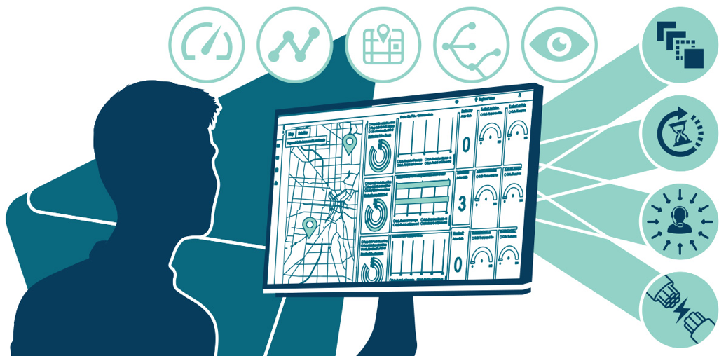
Using Intrado Revolution to Simplify Notification Management
Intrado Revolution is an emergency mass notification system that unifies disparate technology into a...
3 min read
By Intrado
Nov 1, 2021
For years we’ve all repeated the mantra that technology is evolving quickly in the world of emergency communications. That technology evolution results in policy changes that affect both carriers and Public Safety Answering Points (PSAPs)/ Emergency Communication Centers (ECCs).
Everyone knows that in the world of 911, location is everything. In June 2020, the Federal Communications Commission (FCC) issued a Sixth Report and Order (R&O) setting out deadlines for carrier compliance to improve location accuracy for wireless 911 calls. More specifically, if you’re a wireless provider, you must now (or soon) deploy z-axis technology for every wireless 911 call. That means delivering not just the horizontal (x and y coordinates) location but the vertical (z-axis) location of a call and doing so within three meters of accuracy for 80% of indoor wireless 911 calls.
Dates to Remember
The timeline requires a phased implementation approach. An April 2021 deadline required compliance in the top 25 cellular market areas (CMAs) in the U.S. The nationwide carriers have between April 3, 2021 and April 3, 2023 to comply in the top 50 cellular market areas (CMAs) in the U.S.
These wireless providers are required to have z-axis technology in place across the country no later than April 3, 2025. Non-nationwide carriers have until 2024 to comply with the z-axis requirement for the top 50 CMAs, and until 2026 to deliver this information in smaller cellular markets in the U.S.
On January 6, 2022, all wireless providers were to provide a dispatchable location—defined as the street address of the caller and additional information like a room, floor, suite or apartment number—with every wireless 911 call, when it is technically feasible and cost-effective to do so.
“This deadline may catch carriers off-guard,” explains Jerry Wilke, senior technical sales engineer at Intrado. “Carriers will be required to make a representative filing to the FCC about what their plans are in January. That means vetting their plan for achieving compliance and finding out what’s available in the marketplace to deliver a dispatchable location to public safety on a 911 call from a wireless phone.”
Solutions That Make Compliance Easier
Several options can help Intrado customers comply with the latest R&O. “Intrado’s Wireless Dispatchable Location Services, or WDLS, suite allows the subscriber to load addresses into our database and then compares the database to where the 911 caller is located,” Wilke says. “If the caller is within 50 meters of that address, we can assume that’s where they are and deliver that location to public safety rather than an X and Y coordinate.” Carriers can use an Intrado-provided portal to enter address data or they can collect the data themselves and send it to Intrado for entry into a database. (Click to learn more about WDLS)
If you’re looking ahead to future deadlines (or catching up with those in 2021), you’ll want to consider not only how you’re collecting and sharing vertical location information on wireless calls made to 911, but how you will report it too, as the FCC requires reporting live call data as well.
“Intrado’s Location Performance Management tool, which collects and shares data, also does reporting,” says Wilke. In this case, it’s the caller’s device that provides the z-axis data, as most smartphones now have barometric pressure sensors that can deliver elevation readings. “Both Android and iOS devices have that capability, so the device collects that data, which is sent to Intrado and passed on to public safety,” he adds. “That data function can be turned on upon the request of the carrier.”
What Public Safety Call Centers Need to Know
While the FCC does not have jurisdiction over 911 PSAPS/ECCs, communications centers will still see some impact as carriers work to meet the commission’s requirements. “PSAPs will need to ask themselves whether they have equipment—meaning either customer-premises equipment (CPE) or CAD (computer-aided dispatch)—that can display an elevation in a format they can read and use,” Wilke explains. “So they may need some software upgrades to support a display showing where a caller is in a building.” He recommends that centers talk to their CPE or CAD vendor to see what they may need.
And if you’re wondering how big an impact having this information might have on the communities you serve, Wilke notes a 2014 study. “It showed that by adding accurate dispatchable or z-axis information, a predicted 10,000 lives would be saved in the U.S.,” he says.
Learn More
If you need help meeting the FCC’s compliance and reporting requirements for dispatchable address technology, we’d love to talk. Click here to complete a brief form and we will contact you directly.

Intrado Revolution is an emergency mass notification system that unifies disparate technology into a...

At the end of 2022, the FCC (Federal Communications Commission) laid down the gauntlet on improving 911 reliability by issuing an order [FCC 22-88]...

To be prepared for emergencies, schools should review their mass notification systems and...
.jpg)
Most people don’t dial 9-1-1 and then hang up. Most people don’t realize that a 9-1-1 abandoned call taxes already limited emergency response and...