
Intrado is Mapping a Course for NextGen GIS Success in Public Safety (Part Two)
Knowing that one agency’s needs may be profoundly different from another’s, Intrado created a suite of solutions that allow customers to easily get...
1 min read
Last week we announced the launch of Spatial Command & Control, an exciting new addition to the robust lineup of GIS technology and services Intrado already offers.
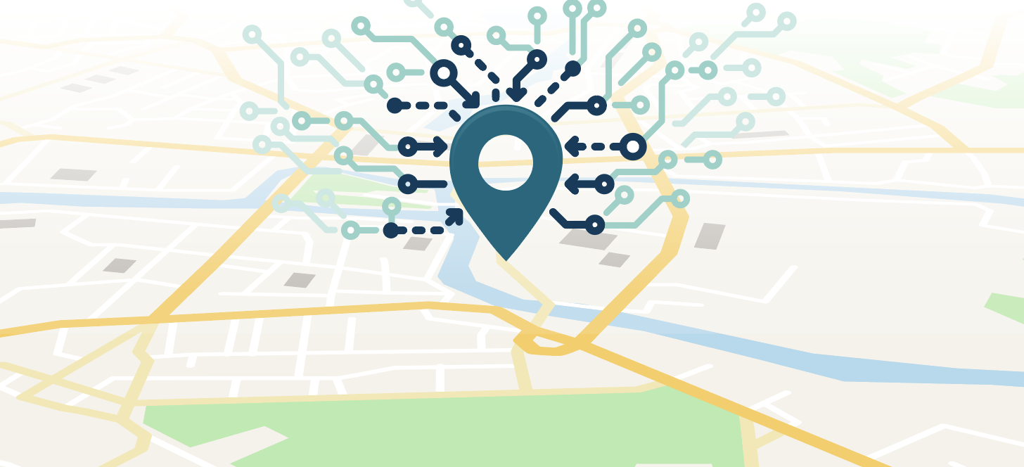
Spatial Command & Control is a map-based incident response solution that provides exceptional situational awareness to telecommunicators and first responders, with precise caller location data, authoritative GIS data, and powerful search functionality – all in a streamlined, user-friendly interface. Built upon the latest Esri technology, it works with any CAD or CPE and integrates seamlessly with our VIPER 911 call handling solution for enhanced workflow benefits that improve productivity and limit the constant head-turning and swiveling common to managing data on several screens.
Step into a PSAP and you’re likely to spot telecommunicators with five screens spread across their workstation. Now imagine taking a high-stress 911 call and combing through, reviewing, and comparing data from each of these screens so that you can make informed decisions and relay vital data to first responders. With such a demanding role, it’s not surprising that those working in PSAPs tend to see a higher turnover rate when compared to other careers. And inaccurate information or inconsistent data spread across multiple monitors can make a difficult job even more challenging, leading to dispatching errors and delays, and in turn increasing stress and frustration levels. In the PSAP, every second matters and accuracy is paramount.
Spatial Command & Control streamlines 911 call workflow and provides authoritative GIS data, ensuring that telecommunicators have the most accurate information in front of them, along with additional data and situational awareness to ensure a faster and safer response.
Watch the video below to learn more about Intrado's latest GIS technology solution for Public Safety.
If you’re interested in seeing a demo of Spatial Command & Control, let us know. Intrado has an expert team of GIS professionals who can help you navigate the entire NG911 journey with a blend of GIS technology and data services that remove the heavy lifting, make transitioning to i3 standards easier, and help you leverage GIS for better data and better responses.

Knowing that one agency’s needs may be profoundly different from another’s, Intrado created a suite of solutions that allow customers to easily get...

Data can be incredibly valuable; but like most things that are worth a lot, it needs to be maintained. That’s certainly true of 911 data. Ask anyone...

What is NG911? Intrado provides Next Generation 911 call routing technology (NG911) to more than 630 PSAPs across the United States. In fact, 2 out...
The influence of geographic information systems (GIS) on emergency communications continues to find its way to the front and center of the...