8 min read
Why Location Centric?
The influence of geographic information systems (GIS) on emergency communications continues to find its way to the front and center of the...

8 min read
The influence of geographic information systems (GIS) on emergency communications continues to find its way to the front and center of the...

2 min read
Data can be incredibly valuable; but like most things that are worth a lot, it needs to be maintained. That’s certainly true of 911 data. Ask anyone...

2 min read
Knowing that one agency’s needs may be profoundly different from another’s, Intrado created a suite of solutions that allow customers to easily get...

Using modern Esri technology, authoritative GIS data, and powerful search capabilities, public safety telecommunicators can now reduce the...

1 min read
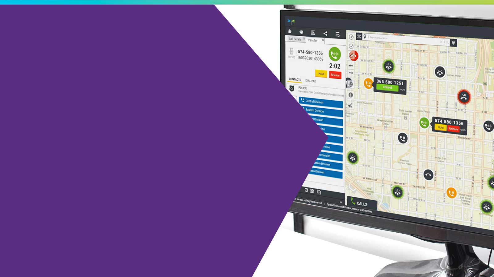
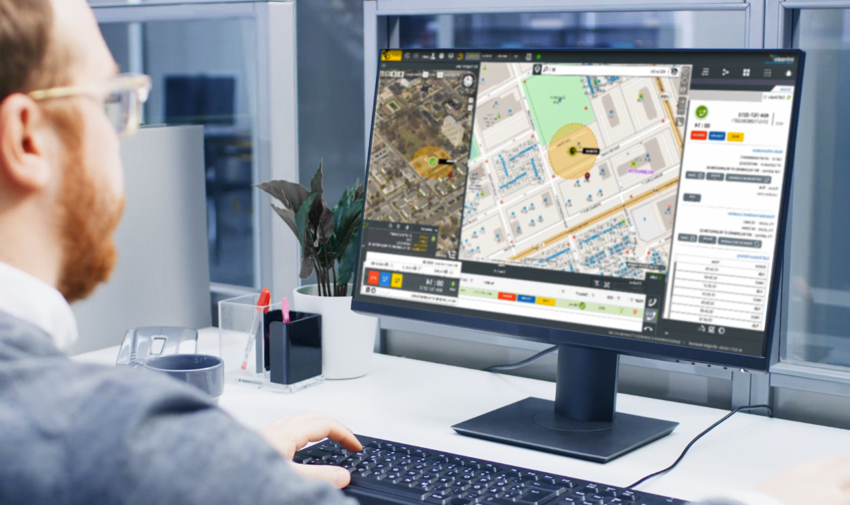
Map-based 911 Call Handling with Authoritative GIS Data Last week we announced the launch of Spatial Command & Control, an exciting new addition to...

2 min read
Earlier this month I attended the NENA 2017 conference in San Antonio, Texas. As always, it was a great event to see old friends in the industry and...

2 min read
One critical component of the transition to Next Generation 9-1-1 (NG9-1-1) systems is a shift from the use of tabular Master Street Address Guide...

2 min read
LEAD THE WAY Geographic Information Systems (GIS) is front & center in the march toward a fully-realized i3-based Next Generation 9-1-1 (NG9-1-1)...

2 min read
The importance of mission critical Geographic Information Systems (GIS) data for call- and dispatch- mapping in the Public Safety Answering Point...